
Fichier:Sheffield UK ward map 2016 (blank).svg

Taille de cet aperçu PNG pour ce fichier SVG : 800 × 559 pixels. Autres résolutions : 320 × 224 pixels | 640 × 447 pixels | 1 024 × 716 pixels | 1 280 × 895 pixels | 2 560 × 1 789 pixels | 1 425 × 996 pixels.
Fichier d’origine (Fichier SVG, nominalement de 1 425 × 996 pixels, taille : 722 kio)
Ce fichier et sa description proviennent de Wikimedia Commons.
.svg?uselang=fr)
| Description |
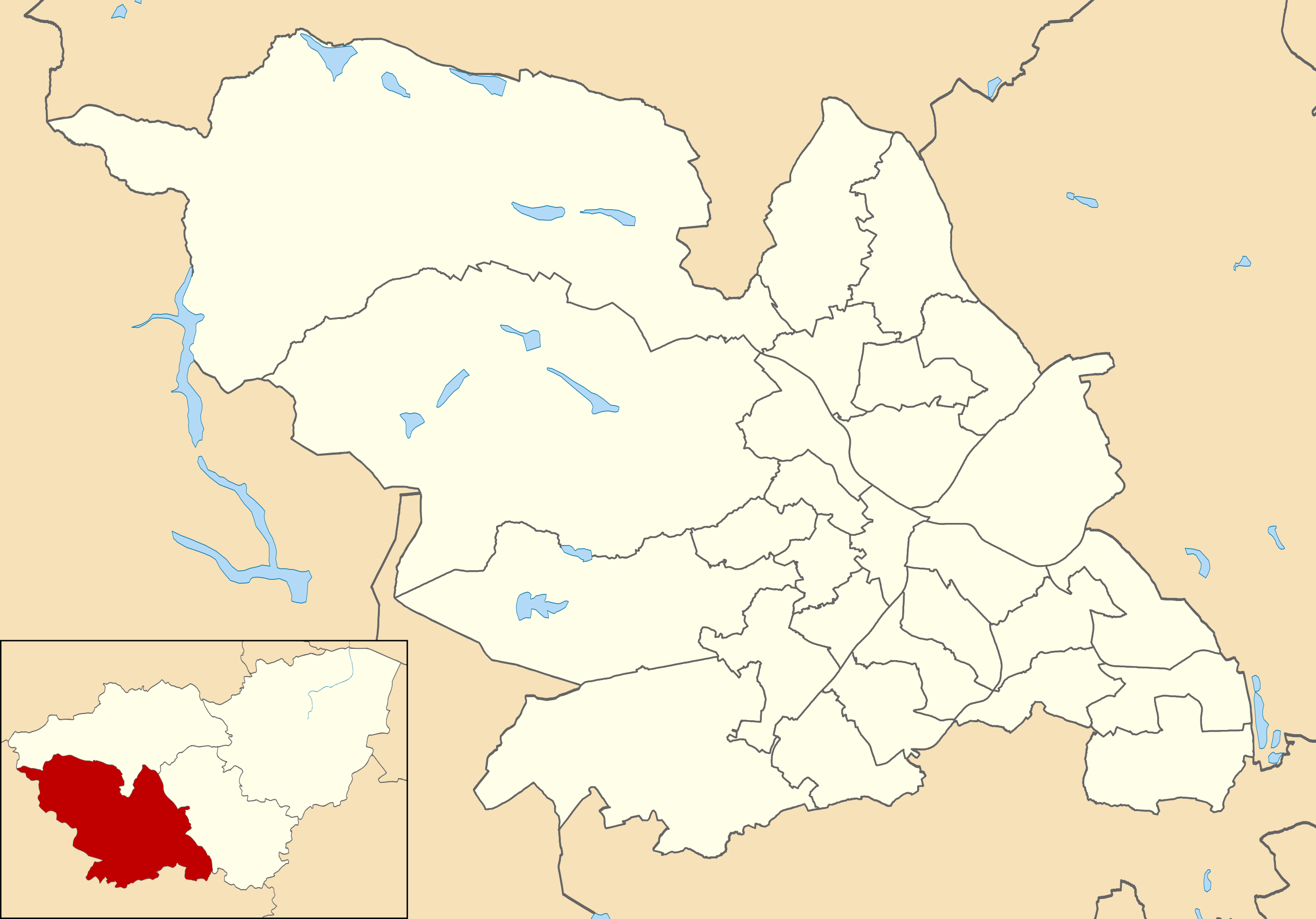
Map of Sheffield, South Yorkshire, UK with electoral wards as of 2016 shown. Equirectangular map projection on WGS 84 datum, with N/S stretched 165% Geographic limits:
|
| Date | |
| Source |
|
| Auteur | Nilfanion, created using Ordnance Survey data |
| Autorisation (Réutilisation de ce fichier) |
Ce fichier est disponible selon les termes de la licence Creative Commons Attribution – Partage dans les Mêmes Conditions 3.0 (non transposée). Attribution: Contains Ordnance Survey data © Crown copyright and database right
|
Historique du fichier
Cliquer sur une date et heure pour voir le fichier tel qu'il était à ce moment-là.
| Date et heure | Vignette | Dimensions | Utilisateur | Commentaire | |
|---|---|---|---|---|---|
| actuel | 30 avril 2016 à 14:10 | | 1 425 × 996 (722 kio) | Nilfanion | {{Information |Description=Map of Sheffield, South Yorkshire, UK with electoral wards as of 2016 shown. Equirectangular map projection on WGS 84 datum, with N/S stretched 165% Geographic limits: *West: 1.82W *East: 1.30W *North: 53.51N *South: 53.29N... |
Utilisation du fichier
Les 3 pages suivantes utilisent ce fichier :
Usage global du fichier
Les autres wikis suivants utilisent ce fichier :
- Utilisation sur en.wikipedia.org
- Utilisation sur it.wikipedia.org
- Utilisation sur ne.wikipedia.org
.svg)