
Fichier:Newport UK location map.svg

Taille de cet aperçu PNG pour ce fichier SVG : 693 × 600 pixels. Autres résolutions : 277 × 240 pixels | 555 × 480 pixels | 888 × 768 pixels | 1 184 × 1 024 pixels | 2 367 × 2 048 pixels | 1 425 × 1 233 pixels.
Fichier d’origine (Fichier SVG, nominalement de 1 425 × 1 233 pixels, taille : 577 kio)
Ce fichier et sa description proviennent de Wikimedia Commons.
| Description |
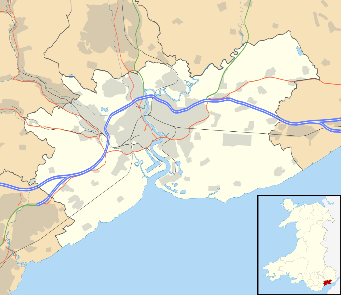
Blank map of Newport, UK with the following information shown:
Equirectangular map projection on WGS 84 datum, with N/S stretched 160% Geographic limits:
|
| Date | |
| Source |
|
| Auteur | Nilfanion, created using Ordnance Survey data |
| Autorisation (Réutilisation de ce fichier) |
Ce fichier est disponible selon les termes de la licence Creative Commons Attribution – Partage dans les Mêmes Conditions 3.0 (non transposée). Attribution: Contains Ordnance Survey data © Crown copyright and database right
|
| Autres versions | File:Newport UK map.svg - Blank map |
Historique du fichier
Cliquer sur une date et heure pour voir le fichier tel qu'il était à ce moment-là.
| Date et heure | Vignette | Dimensions | Utilisateur | Commentaire | |
|---|---|---|---|---|---|
| actuel | 26 septembre 2010 à 21:37 | | 1 425 × 1 233 (577 kio) | Nilfanion | {{Information |Description=Blank map of Newport, UK with the following information shown: *Administrative borders *Coastline, lakes and rivers *Roads and railways *Urban areas Equirectangular map projection on WGS 84 datum, with N/S stretche |
Utilisation du fichier
Les 2 pages suivantes utilisent ce fichier :
Usage global du fichier
Les autres wikis suivants utilisent ce fichier :
- Utilisation sur ar.wikipedia.org
- Utilisation sur azb.wikipedia.org
- Utilisation sur ceb.wikipedia.org
- Utilisation sur el.wikipedia.org
- Utilisation sur en.wikipedia.org
- Westgate Hotel
- List of monastic houses in Wales
- Caerleon
- Newport, Wales
- Tredegar House Country Park
- Gaer, Newport
- Stow Hill
- Celtic Manor Resort
- Tredegar House
- Lliswerry
- Victoria, Newport
- St Julians, Newport
- Ringland, Newport
- Rogerstone
- Malpas, Newport
- Belle Vue Park
- Bettws, Newport
- Whitson
- Llanvaches
- Rodney Parade
- Pillgwenlly
- Shaftesbury, Newport
- Allt-yr-yn
- Alway
- Graig, Newport
- Wentlooge
- Marshfield, Newport
- Langstone, Newport
- Llanwern
- Royal Gwent Hospital
- Newport Museum
- Coedkernew
- Christchurch, Newport
- Lower Machen
- Peterstone
- Bishton
- Michaelston-y-Fedw
- Castleton, Newport
- Barnardtown
- Level of Mendalgief
- Goldcliff
- Penhow
- Redwick, Newport
- Wentwood
- Isca Augusta
- Brynglas
Voir davantage sur l’utilisation globale de ce fichier.