
Fichier:Map of Oklahoma highlighting Choctaw County.svg

Taille de cet aperçu PNG pour ce fichier SVG : 800 × 397 pixels. Autres résolutions : 320 × 159 pixels | 640 × 317 pixels | 1 024 × 508 pixels | 1 280 × 635 pixels | 2 560 × 1 269 pixels | 7 730 × 3 832 pixels.
Fichier d’origine (Fichier SVG, nominalement de 7 730 × 3 832 pixels, taille : 57 kio)
Ce fichier et sa description proviennent de Wikimedia Commons.
Description
| Description |
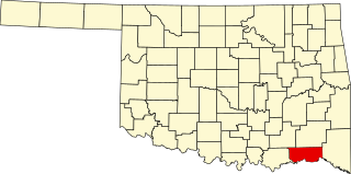
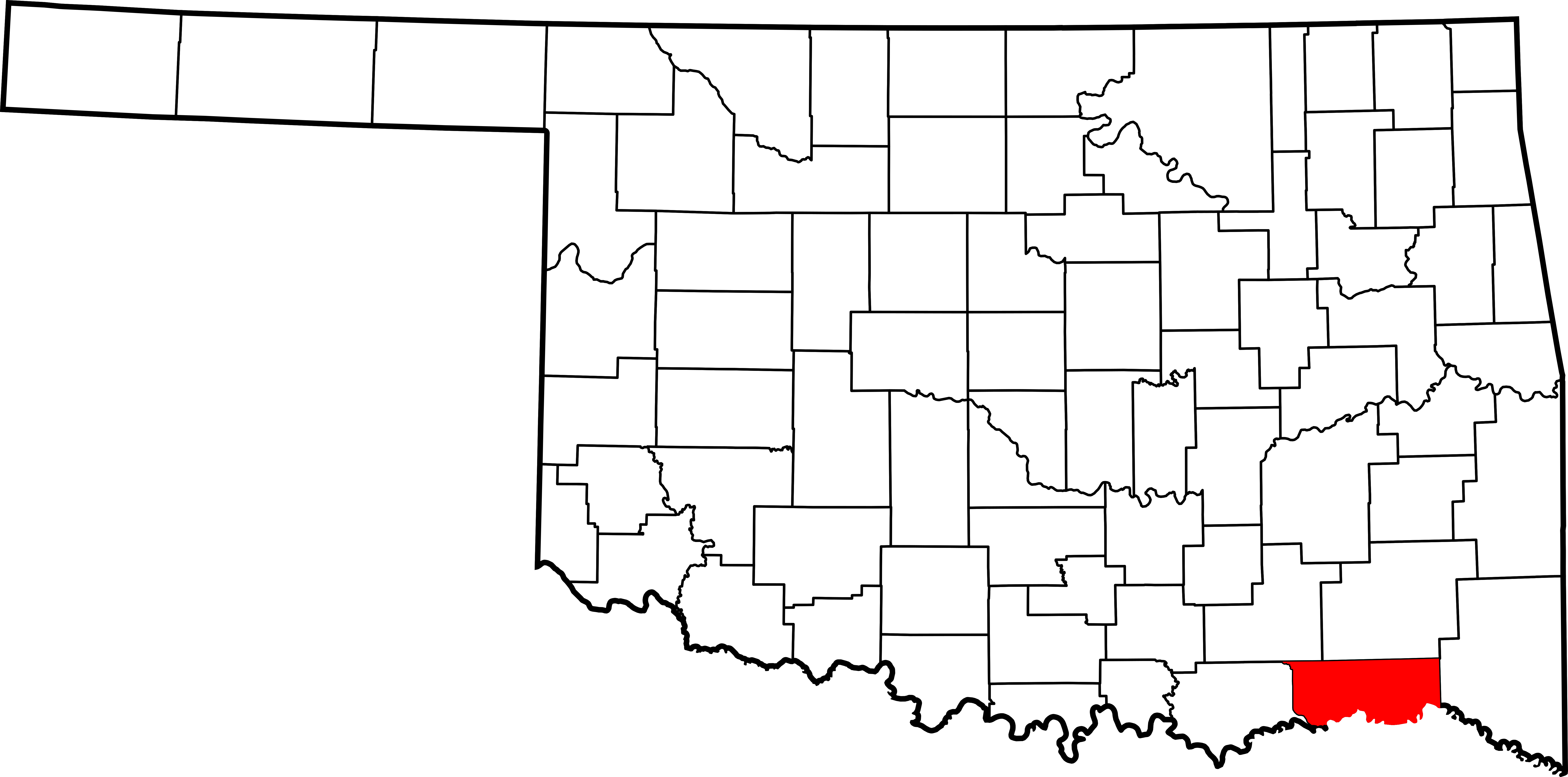
English: This is a locator map showing Choctaw County in Oklahoma. For more information, see Commons:United States county locator maps. |
| Date | |
| Source |
Travail personnel: English: The maps use data from nationalatlas.gov, specifically countyp020.tar.gz on the Raw Data Download page. The maps also use state outline data from statesp020.tar.gz. The Florida maps use hydrogm020.tar.gz to display Lake Okeechobee. |
| Auteur | David Benbennick |
Conditions d’utilisation
| Moi, propriétaire des droits d’auteur sur cette œuvre, la place dans le domaine public. Ceci s'applique dans le monde entier. Dans certains pays, ceci peut ne pas être possible ; dans ce cas : J’accorde à toute personne le droit d’utiliser cette œuvre dans n’importe quel but, sans aucune condition, sauf celles requises par la loi. |
Historique du fichier
Cliquer sur une date et heure pour voir le fichier tel qu'il était à ce moment-là.
| Date et heure | Vignette | Dimensions | Utilisateur | Commentaire | |
|---|---|---|---|---|---|
| actuel | 12 février 2006 à 18:12 | | 7 730 × 3 832 (57 kio) | David Benbennick | {{subst:User:Dbenbenn/clm|county=Choctaw County|state=Oklahoma|type=county}} |
Utilisation du fichier
Les 7 pages suivantes utilisent ce fichier :
Usage global du fichier
Les autres wikis suivants utilisent ce fichier :
- Utilisation sur ar.wikipedia.org
- Utilisation sur bg.wikipedia.org
- Utilisation sur bpy.wikipedia.org
- Utilisation sur ca.wikipedia.org
- Utilisation sur cdo.wikipedia.org
- Utilisation sur ceb.wikipedia.org
- Utilisation sur cy.wikipedia.org
- Utilisation sur de.wikipedia.org
- Utilisation sur en.wikipedia.org
- List of counties in Oklahoma
- Choctaw County, Oklahoma
- Boswell, Oklahoma
- Fort Towson, Oklahoma
- Hugo, Oklahoma
- Sawyer, Oklahoma
- Soper, Oklahoma
- Swink, Oklahoma
- Fort Towson
- Choctaw Nation of Oklahoma
- Frogville, Oklahoma
- Grant, Oklahoma
- Fallon, Oklahoma
- Apple, Oklahoma
- Messer, Oklahoma
- Template:Choctaw County, Oklahoma
- User:Nyttend/County templates/OK
- National Register of Historic Places listings in Choctaw County, Oklahoma
- Hamden, Oklahoma
- Nelson, Oklahoma
- Spencerville, Oklahoma
- Doaksville, Choctaw Nation
- Template:NRHP in Choctaw County, Oklahoma
- Category:Populated places in Choctaw County, Oklahoma
- Gay, Oklahoma
- Hugo Historic District
- Utilisation sur es.wikipedia.org
- Utilisation sur eu.wikipedia.org
Voir davantage sur l’utilisation globale de ce fichier.