
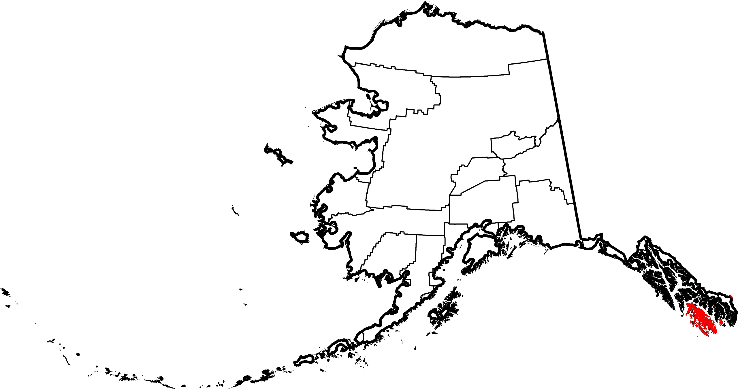
Fichier:Map of Alaska highlighting Prince of Wales-Hyder Census Area.svg

Taille de cet aperçu PNG pour ce fichier SVG : 800 × 423 pixels. Autres résolutions : 320 × 169 pixels | 640 × 338 pixels | 1 024 × 541 pixels | 1 280 × 677 pixels | 2 560 × 1 353 pixels | 1 470 × 777 pixels.
Fichier d’origine (Fichier SVG, nominalement de 1 470 × 777 pixels, taille : 475 kio)
Ce fichier et sa description proviennent de Wikimedia Commons.
Description
| Description | |
| Date | |
| Source | Travail personnel |
| Auteur | Dtbohrer |
| Autres versions |
 |
| SVG information | Le code de ce fichier SVG n'est pas valide en raison de 10 erreurs. |
Conditions d’utilisation
| Moi, propriétaire des droits d’auteur sur cette œuvre, la place dans le domaine public. Ceci s'applique dans le monde entier. Dans certains pays, ceci peut ne pas être possible ; dans ce cas : J’accorde à toute personne le droit d’utiliser cette œuvre dans n’importe quel but, sans aucune condition, sauf celles requises par la loi. |
Historique du fichier
Cliquer sur une date et heure pour voir le fichier tel qu'il était à ce moment-là.
| Date et heure | Vignette | Dimensions | Utilisateur | Commentaire | |
|---|---|---|---|---|---|
| actuel | 7 février 2009 à 18:42 | | 1 470 × 777 (475 kio) | Niagara | == Summary == {{Information |Description={{en|1=Map of Alaska highlighting the Prince of Wales-Hyder Census Area}} |Source=self made |Author=Dtbohrer |Date=February 7, 2009 |Pe |
Utilisation du fichier
Les 20 pages suivantes utilisent ce fichier :
- Coffman Cove
- Craig (Alaska)
- Edna Bay
- Hollis (Alaska)
- Hydaburg
- Hyder (Alaska)
- Kake (Alaska)
- Kasaan
- Klawock
- Metlakatla
- Naukati Bay
- Point Baker
- Port Alexander
- Port Protection
- Région de recensement de Prince of Wales - Outer Ketchikan
- Thorne Bay
- Waterfall (Alaska)
- Whale Pass
- Île Annette
- Modèle:Palette Région de recensement de Prince of Wales - Outer Ketchikan
Usage global du fichier
Les autres wikis suivants utilisent ce fichier :
- Utilisation sur ca.wikipedia.org
- Utilisation sur ce.wikipedia.org
- Utilisation sur de.wikipedia.org
- Utilisation sur en.wikipedia.org
- List of boroughs and census areas in Alaska
- Prince of Wales–Hyder Census Area, Alaska
- Coffman Cove, Alaska
- Craig, Alaska
- Edna Bay, Alaska
- Hollis, Alaska
- Hydaburg, Alaska
- Hyder, Alaska
- Kasaan, Alaska
- Klawock, Alaska
- Metlakatla, Alaska
- Naukati Bay, Alaska
- Point Baker, Alaska
- Port Protection, Alaska
- Thorne Bay, Alaska
- Whale Pass, Alaska
- Kake, Alaska
- Port Alexander, Alaska
- Revillagigedo Channel
- Clarence Strait
- Annette Island
- Gravina Islands
- Sumner Strait
- Waterfall, Alaska
- Portland Canal
- Salmon River (Portland Canal)
- Unorganized Borough, Alaska
- Wikipedia:WikiProject Alaska
- Forrester Island Wilderness
- Hazy Islands Wilderness
- Kosciusko Island
- Warren Island (Alaska)
- Suemez Island
- Long Island (Alaska)
- Template:Prince of Wales–Hyder Census Area, Alaska
- Template:Unorganized Borough, Alaska
- Bucareli Bay
- Heceta Island
- Sukkwan Island
- Baker Island (Alaska)
- User:Nyttend/County templates/AK
- Template:PrinceofWalesHyderAK-geo-stub
- National Register of Historic Places listings in Prince of Wales–Hyder Census Area, Alaska
- Seward Mountains (Alaska)
- Lincoln Mountains
- Karta River Wilderness
- Grindall Island
Voir davantage sur l’utilisation globale de ce fichier.