
Fichier:Isle of Skye UK relief location map.jpg
Taille de cet aperçu : 562 × 599 pixels. Autres résolutions : 225 × 240 pixels | 450 × 480 pixels | 720 × 768 pixels | 960 × 1 024 pixels | 2 004 × 2 137 pixels.
Fichier d’origine (2 004 × 2 137 pixels, taille du fichier : 462 kio, type MIME : image/jpeg)
Ce fichier et sa description proviennent de Wikimedia Commons.
| Description |
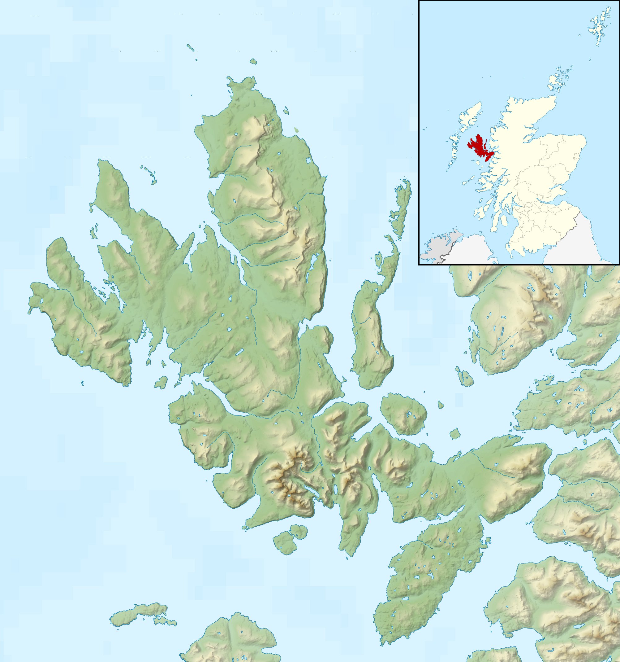
Relief map of the Isle of Skye, UK. Equirectangular map projection on WGS 84 datum, with N/S stretched 180% Geographic limits:
|
| Date | |
| Source |
|
| Auteur | Nilfanion, created using Ordnance Survey data |
| Autorisation (Réutilisation de ce fichier) |
Ce fichier est disponible selon les termes de la licence Creative Commons Attribution – Partage dans les Mêmes Conditions 3.0 (non transposée). Attribution: Contains Ordnance Survey data © Crown copyright and database right
|
| Autres versions |
File:Isle of Skye UK blank map.svg - Blank map  |
Historique du fichier
Cliquer sur une date et heure pour voir le fichier tel qu'il était à ce moment-là.
| Date et heure | Vignette | Dimensions | Utilisateur | Commentaire | |
|---|---|---|---|---|---|
| actuel | 17 décembre 2011 à 02:28 | | 2 004 × 2 137 (462 kio) | Nilfanion | {{Information |Description=Relief map of the Isle of Skye, UK. Equirectangular map projection on WGS 84 datum, with N/S stretched 180% Geographic limits: *West: 6.85W *East: 5.5W *North: 57.8N *South: 57.0N |Source=[[w:Ordnance Survey |
Utilisation du fichier
Les 3 pages suivantes utilisent ce fichier :
Usage global du fichier
Les autres wikis suivants utilisent ce fichier :
- Utilisation sur ar.wikipedia.org
- Utilisation sur ceb.wikipedia.org
- Utilisation sur cs.wikipedia.org
- Utilisation sur da.wikipedia.org
- Utilisation sur de.wikipedia.org
- Utilisation sur en.wikipedia.org
- Soay, Inner Hebrides
- Sorley MacLean
- Raasay
- South Rona
- Scalpay, Inner Hebrides
- Sgùrr Alasdair
- Blà Bheinn
- Wiay, Inner Hebrides
- Eilean Bàn
- Am Basteir
- Bruach na Frìthe
- Sgùrr a' Ghreadaidh
- Sgùrr a' Mhadaidh
- Pabay
- Ornsay
- Beinn na Caillich (Red Hills)
- Eilean Mòr, Crowlin Islands
- Loch Snizort
- Isle of Skye
- South Ascrib
- Harlosh Island
- Tarner Island
- Eilean Tigh
- Eilean Mòr, Loch Dunvegan
- Staffin Island
- Module:Location map/data/Scotland Isle of Skye/doc
- Beinn na Caillich (Kyle Rhea)
- Eilean Meadhonach
- High Pasture Cave
- Portal:Islands/Selected article
- Module:Location map/data/Scotland Isle of Skye
Voir davantage sur l’utilisation globale de ce fichier.