
Fichier:Blank political map of Europe.png
Pas de plus haute résolution disponible.
Blank_political_map_of_Europe.png (680 × 520 pixels, taille du fichier : 161 kio, type MIME : image/png)
Ce fichier et sa description proviennent de Wikimedia Commons.
Description
| Description |
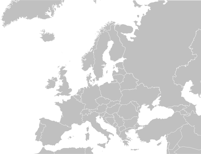
English: Blank political map of Europe.
Español: Mapa politica de Europa. |
| Date | 04/09/2009 |
| Source | Wikimedia Commons |
| Auteur | Carlosblh |
| Autres versions |
|
Conditions d’utilisation
Ce fichier est disponible selon les termes de la licence Creative Commons Attribution – Partage dans les Mêmes Conditions 3.0 (non transposée).
- Vous êtes libre :
- de partager – de copier, distribuer et transmettre cette œuvre
- d’adapter – de modifier cette œuvre
- Sous les conditions suivantes :
- paternité – Vous devez donner les informations appropriées concernant l'auteur, fournir un lien vers la licence et indiquer si des modifications ont été faites. Vous pouvez faire cela par tout moyen raisonnable, mais en aucune façon suggérant que l’auteur vous soutient ou approuve l’utilisation que vous en faites.
- partage à l’identique – Si vous modifiez, transformez, ou vous basez sur cette œuvre, vous devez distribuer votre contribution sous la même licence ou une licence compatible avec celle de l’original.
Historique du fichier
Cliquer sur une date et heure pour voir le fichier tel qu'il était à ce moment-là.
| Date et heure | Vignette | Dimensions | Utilisateur | Commentaire | |
|---|---|---|---|---|---|
| actuel | 31 mai 2015 à 17:30 | | 680 × 520 (161 kio) | Cmdrjameson | Compressed with pngout. Reduced by 66kB (29% decrease). |
| 27 mai 2010 à 05:57 |  | 680 × 520 (227 kio) | Mclay1 | Removed borders in Sweden and Russia | |
| 4 septembre 2009 à 07:56 |  | 680 × 520 (119 kio) | Carlosblh | {{Information |Description={{en|1=Blank map of Europe.}} {{es|1=Mapa de Europa.}} |Source=Wikimedia Commons |Author=Carlosblh |Date=04/09/2009 |Permission= |other_versions=120px }} [[Category:Maps o |
Utilisation du fichier
Aucune page n’utilise ce fichier.
Usage global du fichier
Les autres wikis suivants utilisent ce fichier :
- Utilisation sur en.wikipedia.org