
Fichier:Angus UK location map.svg

Taille de cet aperçu PNG pour ce fichier SVG : 610 × 599 pixels. Autres résolutions : 244 × 240 pixels | 489 × 480 pixels | 782 × 768 pixels | 1 042 × 1 024 pixels | 2 085 × 2 048 pixels | 1 425 × 1 400 pixels.
Fichier d’origine (Fichier SVG, nominalement de 1 425 × 1 400 pixels, taille : 1,14 Mio)
Ce fichier et sa description proviennent de Wikimedia Commons.
| Description |
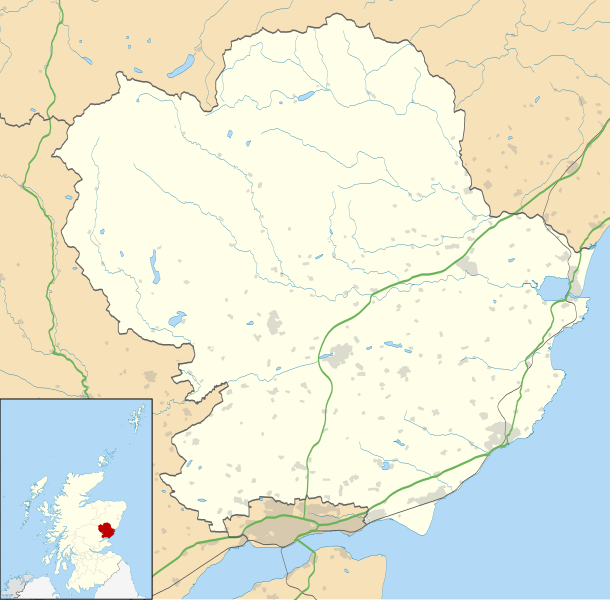
Blank map of Angus, UK with the following information shown:
Equirectangular map projection on WGS 84 datum, with N/S stretched 180% Geographic limits:
|
| Date | |
| Source |
|
| Auteur | Nilfanion, created using Ordnance Survey data |
| Autorisation (Réutilisation de ce fichier) |
Ce fichier est disponible selon les termes de la licence Creative Commons Attribution – Partage dans les Mêmes Conditions 3.0 (non transposée). Attribution: Contains Ordnance Survey data © Crown copyright and database right
|
| Autres versions | File:Angus UK blank map.svg - Blank map |
Historique du fichier
Cliquer sur une date et heure pour voir le fichier tel qu'il était à ce moment-là.
| Date et heure | Vignette | Dimensions | Utilisateur | Commentaire | |
|---|---|---|---|---|---|
| actuel | 26 septembre 2010 à 22:01 | | 1 425 × 1 400 (1,14 Mio) | Nilfanion | {{Information |Description=Blank map of Angus, UK with the following information shown: *Administrative borders *Coastline, lakes and rivers *Roads and railways *Urban areas Equirectangular map projection on WGS 84 datum, with N/S stretched 18 |
Utilisation du fichier
Les 16 pages suivantes utilisent ce fichier :
Usage global du fichier
Les autres wikis suivants utilisent ce fichier :
- Utilisation sur ar.wikipedia.org
- Utilisation sur ba.wikipedia.org
- Utilisation sur bg.wikipedia.org
- Utilisation sur br.wikipedia.org
- Utilisation sur ceb.wikipedia.org
- Utilisation sur de.wikipedia.org
- Utilisation sur en.wikipedia.org
- Angus, Scotland
- Arbroath
- Glamis Castle
- List of monastic houses in Scotland
- Forfar
- Montrose, Angus
- Kirriemuir
- Colliston Castle
- Brechin
- Friockheim
- Carnoustie
- Glamis
- Aberlemno
- Memus
- Airlie, Angus
- Monifieth
- Liff, Angus
- Craigowl Hill
- Edzell Castle
- East Haven, Angus
- Station Park, Forfar
- Wikipedia:WikiProject Scottish Castles
- Tealing
- RAF Montrose
- Glebe Park, Brechin
- Barry, Angus
- Strathmartine
- Auchmithie
- Scottish Junior Football East Region Premier League North
- Cortachy
- Stracathro
- Bridge of Craigisla
- Carmyllie
- Edzell
- Farnell, Angus
- Guthrie, Angus
- Inverkeilor
- Letham, Angus
- Newbigging, Angus
- Murroes
- St Vigeans
Voir davantage sur l’utilisation globale de ce fichier.