
Fichier:Alberta Highway 15.svg

Taille de cet aperçu PNG pour ce fichier SVG : 450 × 600 pixels. Autres résolutions : 180 × 240 pixels | 360 × 480 pixels | 576 × 768 pixels | 768 × 1 024 pixels | 1 536 × 2 048 pixels.
Fichier d’origine (Fichier SVG, nominalement de 450 × 600 pixels, taille : 6 kio)
Ce fichier et sa description proviennent de Wikimedia Commons.
Description
| Description |
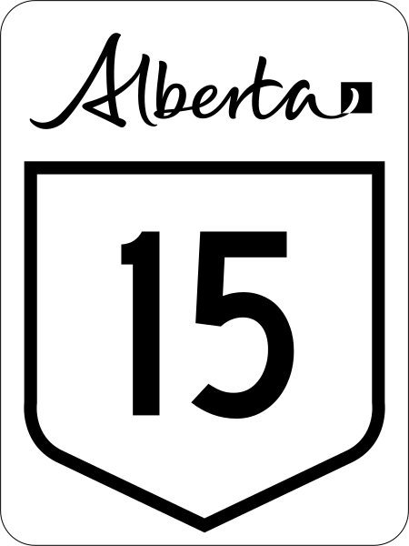
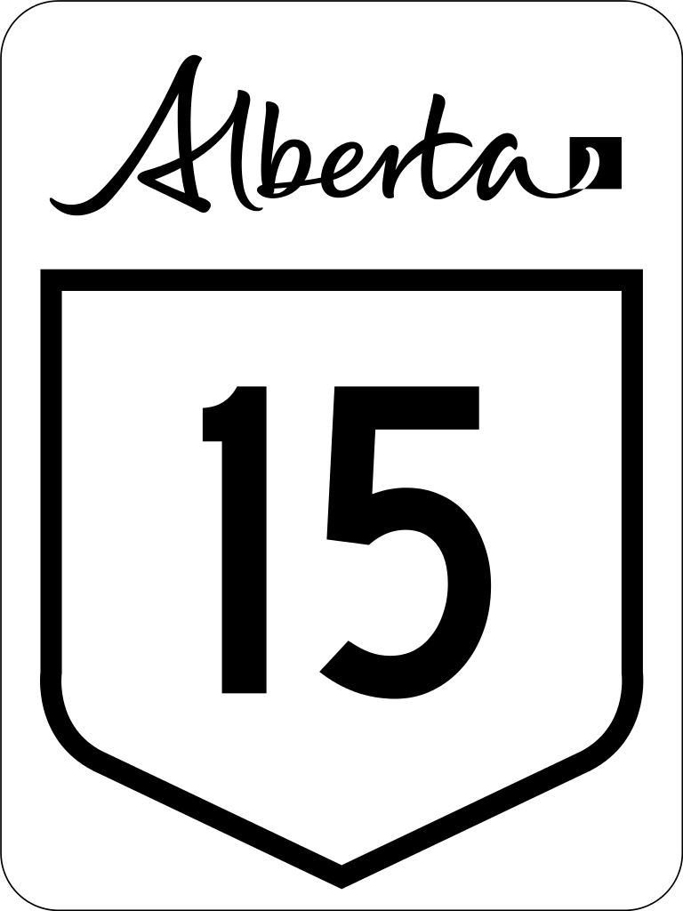
English: Alberta Highway 15 road sign. |
||
| Date | (UTC) | ||
| Source | File:Alberta primary highway template.svg | ||
| Auteur | Svgalbertian | ||
| Autorisation (Réutilisation de ce fichier) |
The Alberta workmark is a trademark of the Government of Alberta.
|
||
| Autres versions | File:Alberta Highway 15 (1970s).svg |

.svg)
Cette image vectorielle contient des éléments, éventuellement modifiés, qui ont été extraits de :
Cette image vectorielle contient des éléments, éventuellement modifiés, qui ont été extraits de :
Conditions d’utilisation
| Ce document n'est pas soumis au droit d’auteur ( copyright ) et est donc dans le domaine public, car il est composé exclusivement d’informations qui sont des propriétés communes et ne contient aucune modification qui en ferait une œuvre originale.
|
Historique du fichier
Cliquer sur une date et heure pour voir le fichier tel qu'il était à ce moment-là.
| Date et heure | Vignette | Dimensions | Utilisateur | Commentaire | |
|---|---|---|---|---|---|
| actuel | 28 février 2016 à 01:34 | | 450 × 600 (6 kio) | Highway Route Marker Bot | New version of sign |
| 19 octobre 2010 à 03:19 |  | 450 × 600 (5 kio) | Highway Route Marker Bot | Reprocess due to issue with the number '5' in latest version of Roadgeek font. | |
| 4 juillet 2010 à 18:23 |  | 450 × 600 (3 kio) | DieBucheBot | Optimizing SVG size | |
| 2 juillet 2010 à 15:53 |  | 450 × 600 (62 kio) | DieBucheBot | Optimizing SVG size | |
| 29 mars 2009 à 01:10 |  | 450 × 600 (78 kio) | Svgalbertian | {{Information |Description={{en|1=Alberta Highway 15 road sign}} |Source=Own work by uploader |Author=Svgalbertian |Date=2009-03-28 |Permission=The Alberta workmark is a trademark of the Government of Alberta. |other_versions=[[:File |
Utilisation du fichier
Les 2 pages suivantes utilisent ce fichier :
Usage global du fichier
Les autres wikis suivants utilisent ce fichier :
- Utilisation sur de.wikipedia.org
- Utilisation sur en.wikipedia.org
- List of Alberta provincial highways
- Edmonton Transit Service
- Strathcona County
- Alberta Highway 16
- Anthony Henday Drive
- Alberta Highway 21
- Alberta Highway 14
- Alberta Highway 15
- Alberta Highway 28A
- Alberta Highway 37
- Alberta Highway 45
- List of highways numbered 15
- Stadium station (Edmonton)
- Edmonton LRT
- Clareview station
- Belvedere station (Edmonton)
- Coliseum station (Edmonton)
- Churchill station (Edmonton)
- Central station (Edmonton)
- Bay/Enterprise Square station
- Corona station (Edmonton)
- Government Centre station
- University station (Edmonton)
- Health Sciences/Jubilee station
- McKernan/Belgravia station
- South Campus/Fort Edmonton Park station
- Southgate station (Edmonton)
- Century Park station (Edmonton)
- Alberta Highway 29
- Wikipedia talk:Route diagram template
- Jasper Avenue
- Dudley B. Menzies Bridge
- Template:Edmonton LRT
- D.L. MacDonald Yard
- 50 Street, Edmonton
- Template talk:Edmonton LRT
- National Highway System (Canada)
- Fort Road & Manning Drive
- Alberta Highway 14X
- MacEwan station
- Kingsway/Royal Alex station
- Alberta Highway 855
- Template:Infobox road/testcases/CAN
- Yellowhead Trail
Voir davantage sur l’utilisation globale de ce fichier.